Submitted by liem on Mon, 02/25/2013 - 12:14
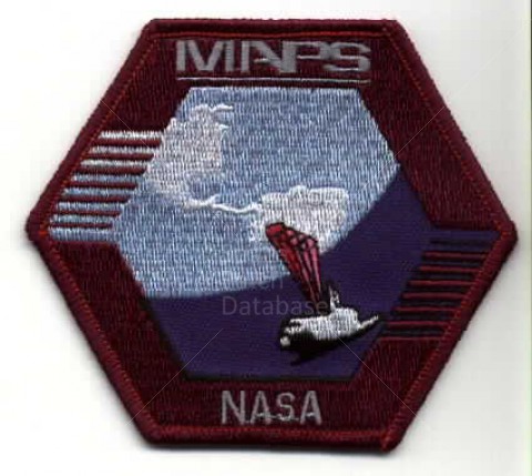
The MAPS instrument measures the distribution of carbon monoxide in the Earth's lower atmosphere (3 to 10 kilometers above the
surface), from latitude 57 degrees North to latitude 57 degrees South.
Collector Value:
(1 vote)
Project:
Classification:
- Log in to post comments