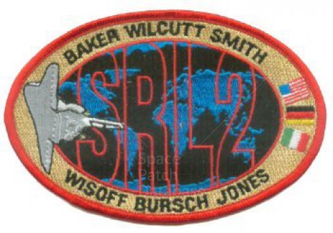
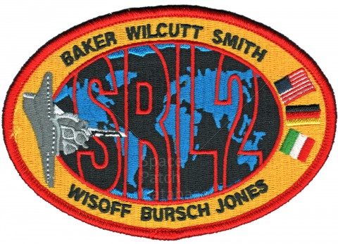
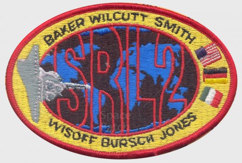
STS-68 was a human spaceflight mission using Space Shuttle Endeavour that launched from Kennedy Space Center, Florida on 1994-09-30.
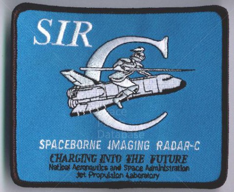
STS-68 marked second flight in 1994 of Space Radar Laboratory (first flight was STS-59 in April), part of NASA's Mission to Planet Earth. Flying SRL during different seasons allowed comparison of changes between first and second flights. SRL-2 was activated on flight day one, and around-the-clock observations conducted by astronauts split into two teams. Besides repeating data takes over same locations as on first flight, unusual events also imaged, including erupting volcano in Russia and islands of Japan after earthquake there. Also tested was ability of SRL-2 imaging radars, Spaceborne Imaging Radar-C (SIR-C) and X- band Synthetic Aperture Radar (X-SAR), to discern difference between such human-induced phenomena as an oil spill in the ocean and naturally occurring film.
Similar to the modern A-B Emblem STS-68 patch, the Eagle Crest Emblem version has a black outline around the orbiter.